
A FACILITY OF THE INTERNATIONAL RESEARCH SCHOOL OF PLANETARY SCIENCES
Super-resolution DEMs of the surface
With the collaboration of
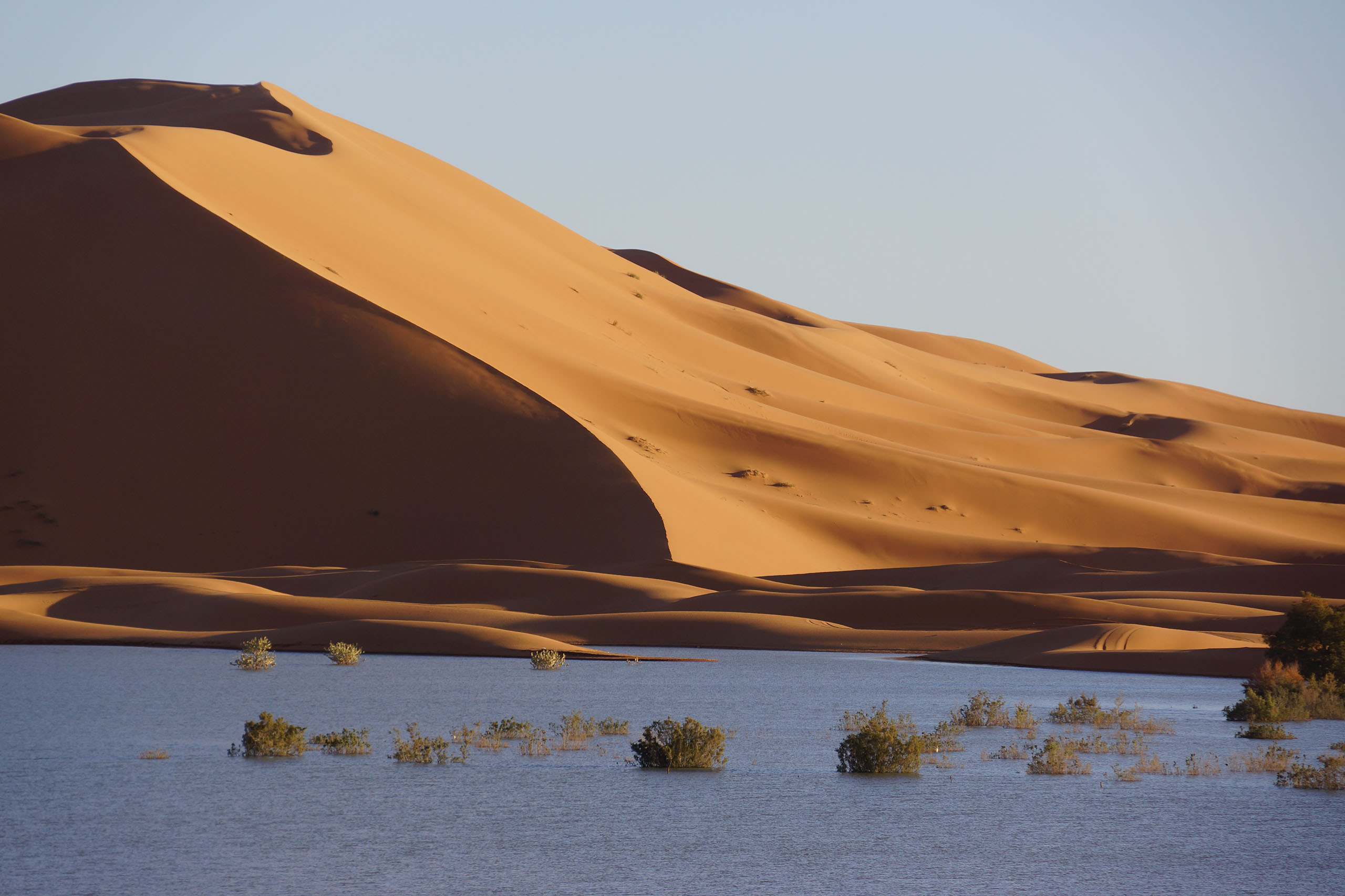
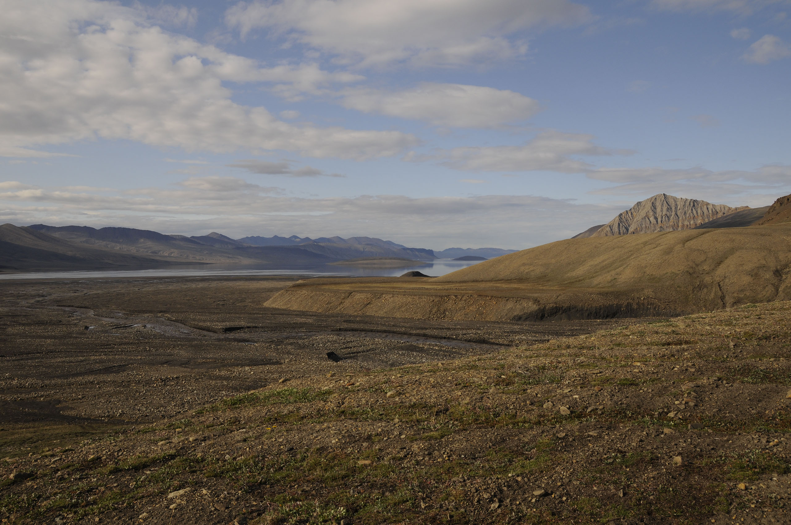
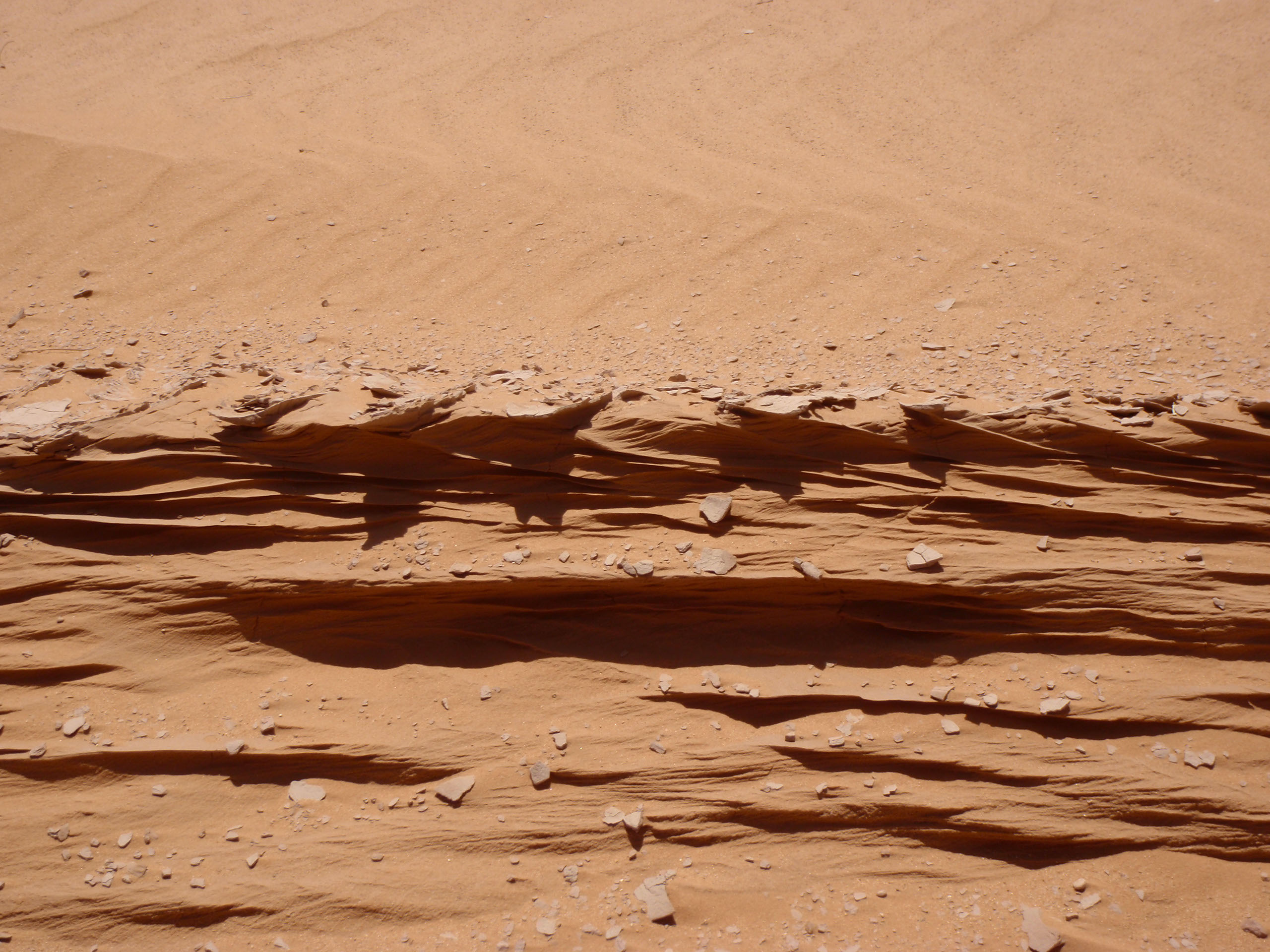
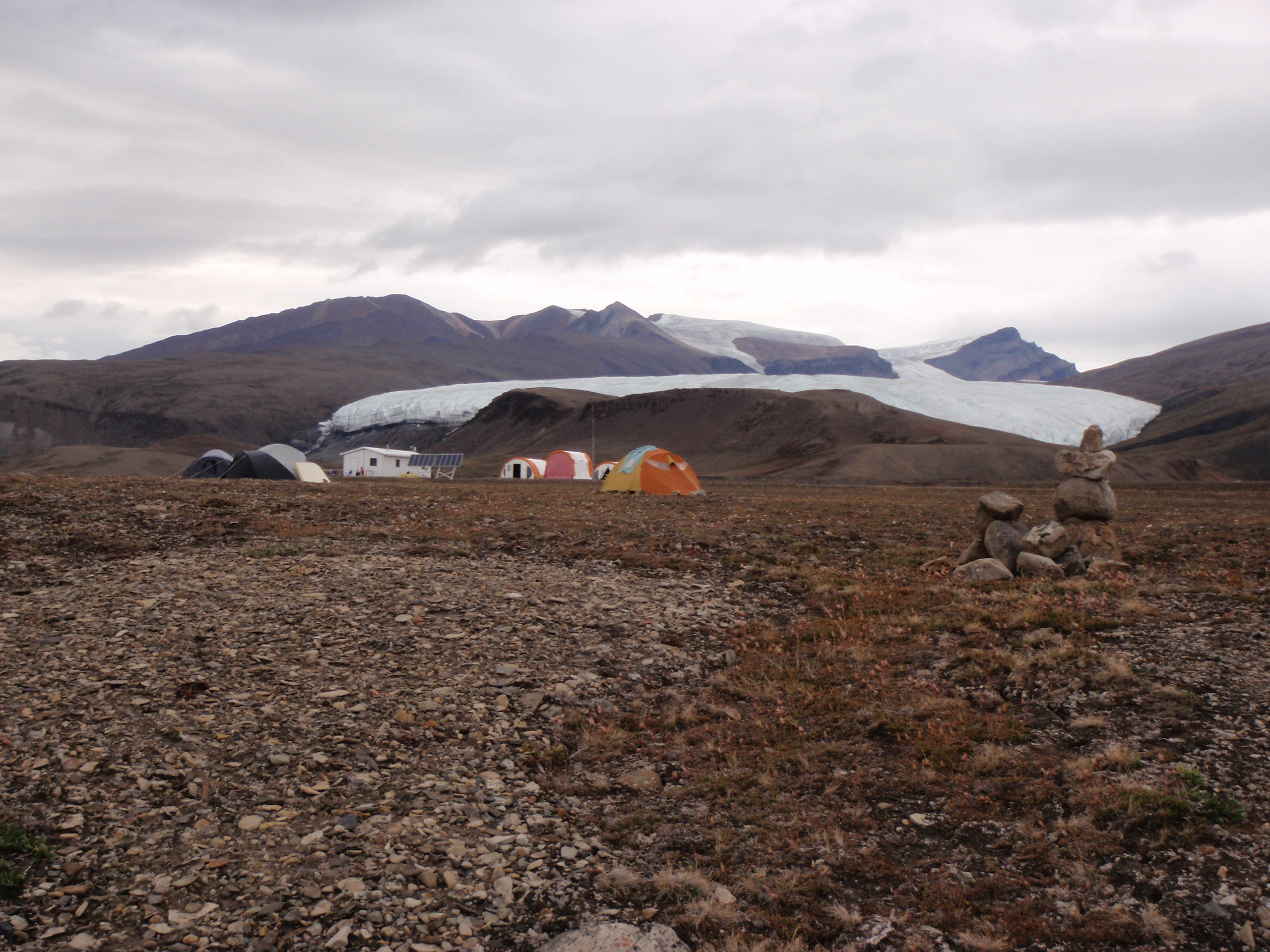
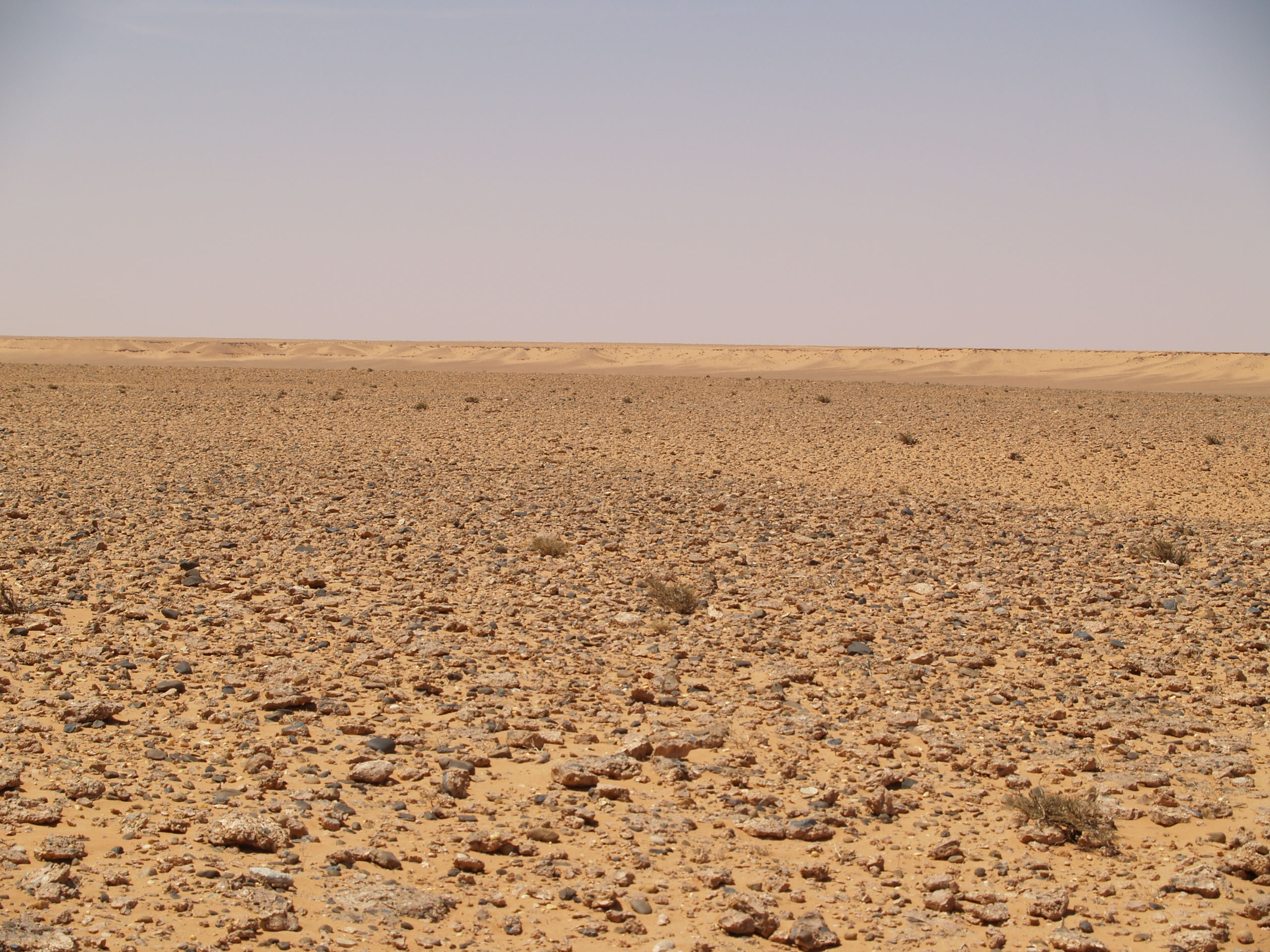
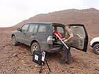
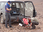
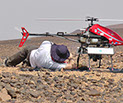
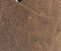
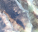
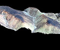
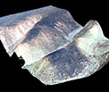
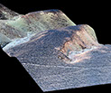
The Ibn Battuta Centre has organised along with the Université de Lyon and the IRSPS a survey to produce DEM’s with resolution of a few centimetres on the surface of our planetary analogue sites. Pascal Allemand has brought his drone DRELIO to Morocco to perform this survey. DRELIO flew for several hours in a number of locations and the pilot Phillippe Grandjean was able to cope with some strong wind and during the first day with the vent de sable. The data will be used to validate and qualify our software for Mars exploration. Moreover, they will be useful to test landing systems.


x
<
>
The Flight
Results
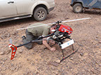
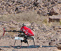
The DRELIO drone is a fully automatic UAV able to fly in autonomy for up to one hour at 150m above the surface. Despite this limitation, the maximum speed it reaches is 70km.h-1 even in windy conditions. The total weight of DRELIO is 11 kg with an maximum payload of 5 kg. The fly plan is first programmed and uploaded in the drone. DRELIO carries out its mission by taking images which are tagged with the GPS position and orientation of the camera. The images are then processed by the techniques of photogrammetry. Digital Elevation Model (DEM) and ortho-rectified images are computed from stereo images. The resolution of the images and DEM is better than 3 cm with an absolute precision better than 10 cm.


x
<
>

© Copyright IbnBattutaCentre/IRSPS
The material of this website cannot be reproduced without permission of IbnBattutaCentre and IRSPS